Episode 11: The First Star
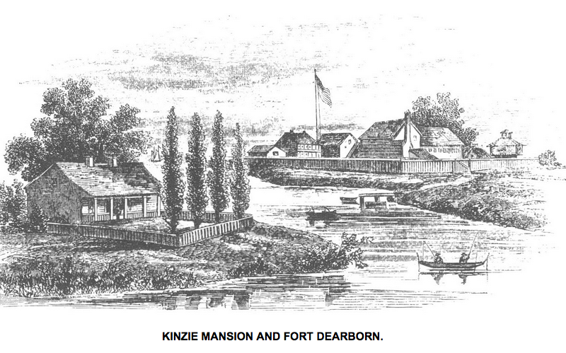
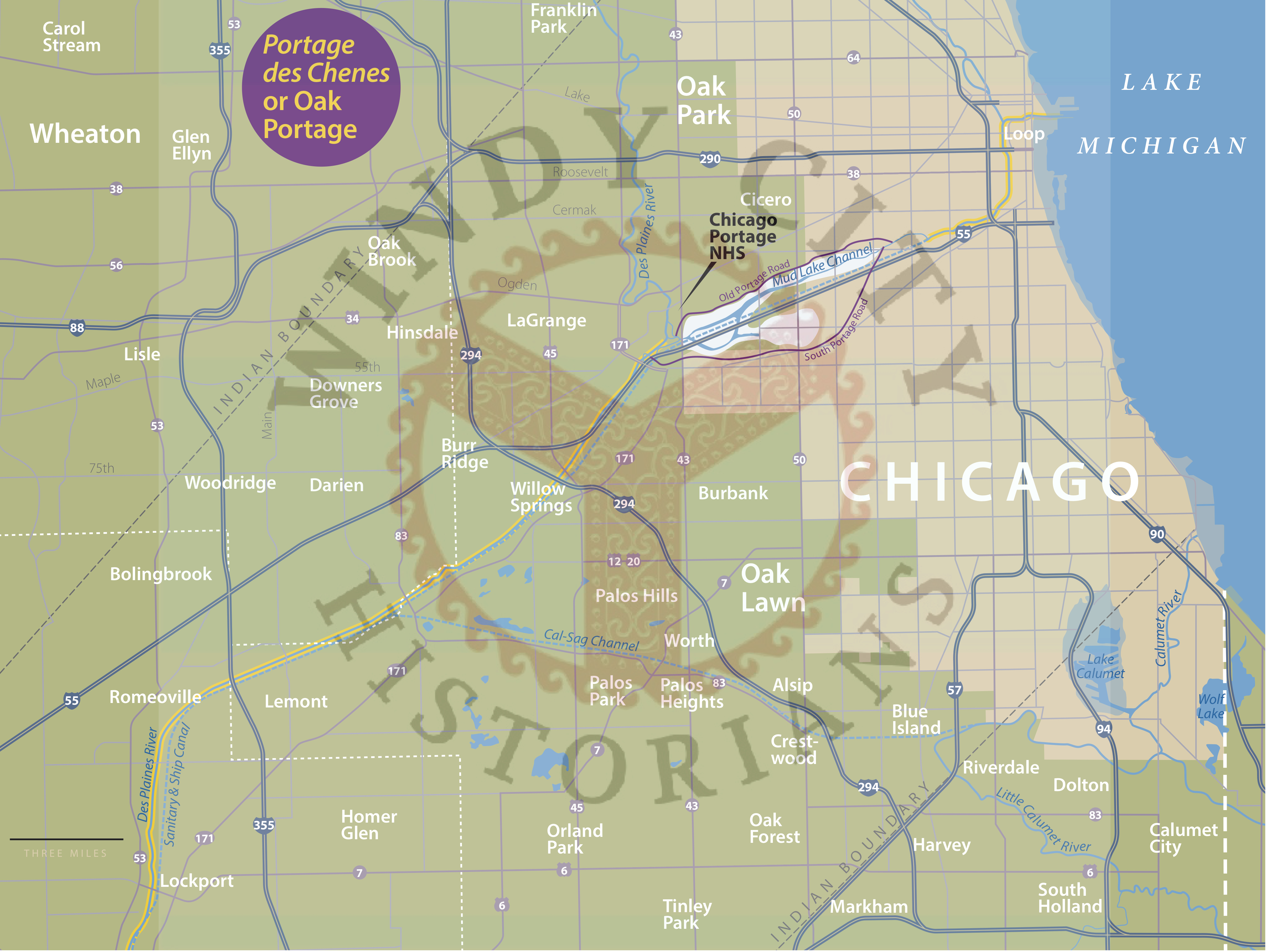
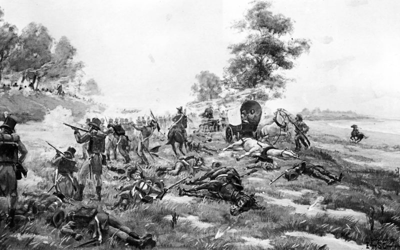
Did you realize each of the four stars on the Chicago Flag represent important dates in Chicago history? The two blue stripes on the flag have a special meaning as well. In this Episode we will discuss the events running up to the Fort Dearborn Massacre which is represented by the first star on Chicago’s flag. We interview historian, professor, and author Ann Durkin Keating, Ph.D. about the events leading up to what she prefers to call the Battle of Fort Dearborn which occurred on Chicago’s lakefront on August 15, 1812.
This is the eleventh episode in our inaugural series we call “Laying the Foundation” and continues our chronological overview of Chicago history from its beginnings up to the 1930s. Since March 2019, we have released a new episode each month, usually on the last Friday of the month, to bring you a new slice of fascinating Chicago history. We hope you are enjoying the podcast and we could use your help to expand our audience. Please tell your friends, family, acquaintances, and even complete strangers about these amazing Chicago stories in audible form available only on the Windy City Historians Podcast. Join our Facebook group the Windy City Historians of over 8K members and discover more great Chicago history.
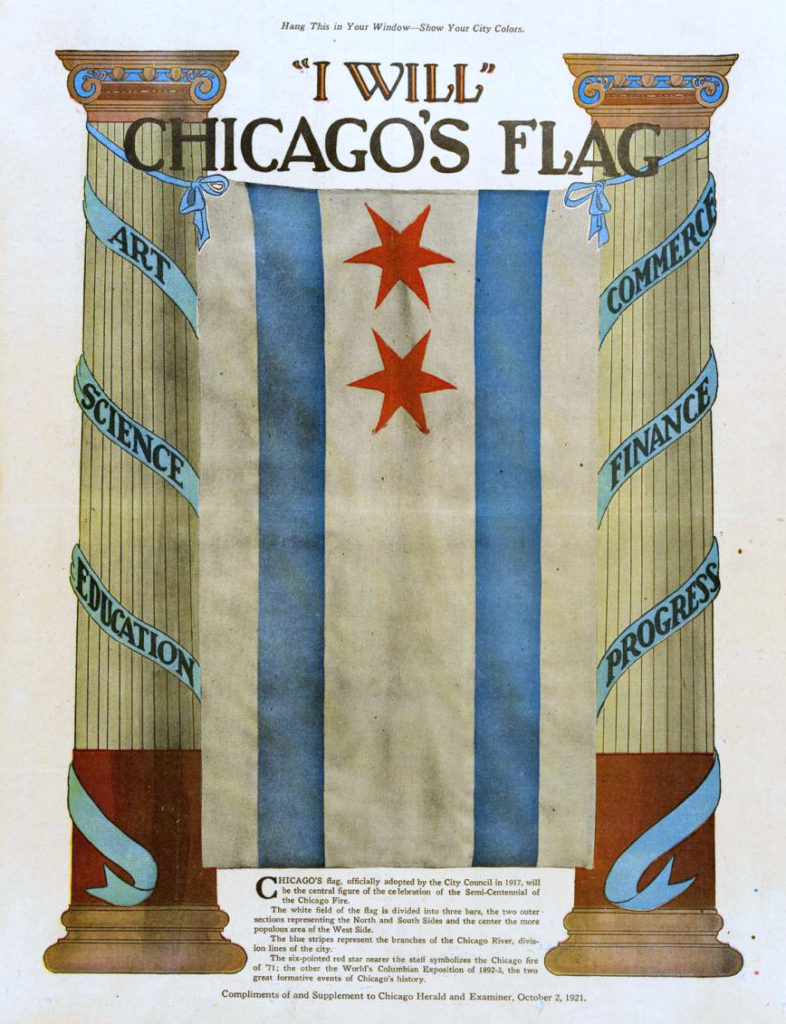
The first Chicago flag in 1917 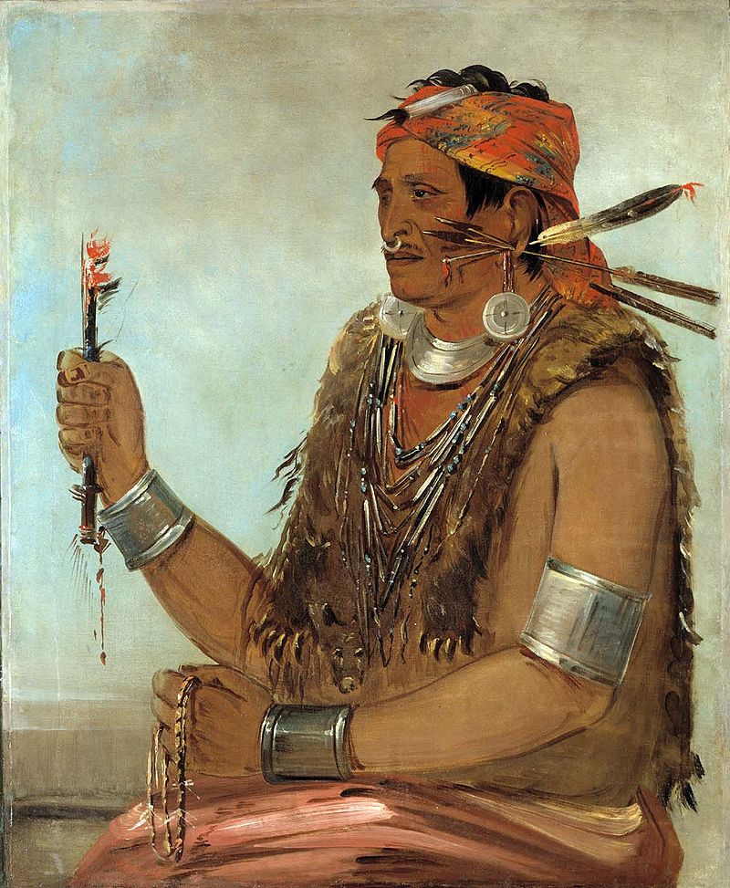
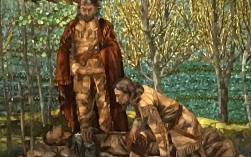
George Catlin painting of Tenskwatawa the Shawnee Prophet, brother of Tecumseh 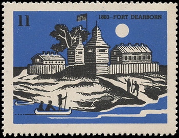
Stamp of the first Fort Dearborn 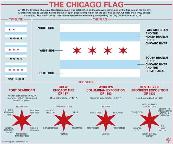
History and evolution grapic of the Chicago flag
Links to Research and History Documents
- Rising Up From Indian Country by Ann Durkin Keating
- The Middle Ground by Richard White
- Tecumseh (1768-1813) Shawnee leader
- Battle of Tippecanoe
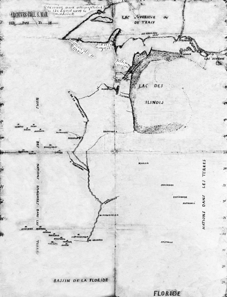
- Main Poche: The Last of the Traditional Potawatomi War Chiefs
- Thomas Jefferson and development of his Indian policy
- Mr. Jefferson’s Hammer by Robert M. Owens
- Thomas Forsyth (1771-1833) Peoria trader and partner of John Kinzie
- Ninan Edwards (1775-1833) Governor of the Illinois Territory from 1808 to 1818
- Capt. Nathan Heald (1775-1832) Commander of Fort Dearborn in 1812
- Lt. Linai Helm (? – 1838) junior officer at Fort Dearborn in 1812
- Ensign, George Ronan (ca. 1783 – 1812) junior officer at Fort Dearborn in 1812